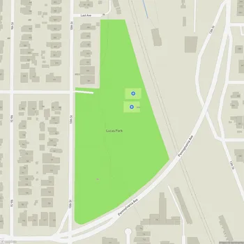
Lucretia Edwards Shoreline Park
Interactive Park Map
About Lucretia Edwards Shoreline Park
Bayfront Beauty
Located at the end of Marina Way South in Richmond, California, Lucretia Edwards Shoreline Park is a 2-acre green space with character. Named after Lucretia W. Edwards, a passionate local activist who championed open spaces, this compact green space offers quite a bit despite its small size.
Perched along Richmond's southern shore, visitors are treated to breathtaking views of the San Francisco Bay that somehow never get old, no matter how many times they visit. The park connects to the larger Bay Trail network, making it a wonderful jumping-off point for longer adventures around the bay's shoreline parks.
Natural Wonders
If you're into bird watching, you're in for a treat. The adjacent tidal wetlands and Stege Marsh attract a variety of feathered visitors that keep changing with the seasons. There's something deeply calming about sitting here, taking in the bay views while nature goes about its business around you.
Planning an event? Make a reservation at this park
When the bay breezes kick up (as they often do), the open space becomes a perfect spot for kite flying. Watching boats bob in the marina while the water laps at the shore provides a peaceful escape from everyday life.
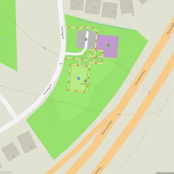
What You'll Find
The park features clean restroom facilities and benches placed to maximize the bay views. The park is well-maintained throughout.
A loop walking path connects with the larger Bay Trail, making it ideal for a quick rejuvenating stroll or as part of a longer walk. You'll often spot locals from nearby offices taking their lunch breaks here, and neighborhood residents getting their daily steps in along the waterfront.
Historical Connections
More than just a pretty face, this park honors the significant contributions made by Bay Area shipyards during World War II. It's actually an important piece of the Rosie the Riveter/WWII Home Front National Historical Park puzzle.
Been to this park? Share a or a
As you wander through, you'll notice thoughtful exhibits and historical quotes that highlight various aspects of the World War II home front effort. If this piques your interest, the Rosie the Riveter Visitor Education Center is just a short walk away, making for an easy and educational addition to your visit.
Community Spirit
The park serves the community as a gathering spot for various events, including seasonal craft fairs. Its layout accommodates both quiet contemplation and social activities.
Dog owners will appreciate that their four-legged friends are welcome here, but do keep them leashed and under control so everyone can enjoy this special bayfront spot.
All Features & Facilities
Nature & Wildlife
Water Features & Activities
Visitor Services
Food & Gathering
Photo Gallery
Leave a Comment
ParkMagnet Score
Good Park
Park Size
Opening Hours
Plan Your Visit
Weather
Top Restaurants Near Lucretia Edwards Shoreline Park
Assemble Kitchen
515 feet1414 Harbour Way S, Richmond, CA 94804
Industrial-chic restaurant with bay views serving innovative American burgers, salads, and sandwiches with full bar service.
Anh Restaurant & Bar
0.3 miles1950 Esplanade Dr, Richmond, CA 94804
Waterfront Vietnamese restaurant serving fresh pho, banh mi, and traditional dishes with scenic harbor views.