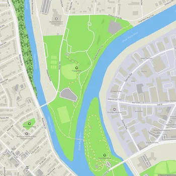
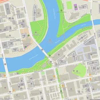
Canal Walk
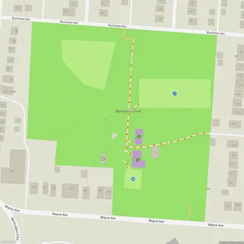
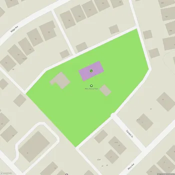
Interactive Park Map
About Canal Walk
A Stroll Through History
Nestled in downtown Dayton, Canal Walk traces the footsteps of the once-bustling Miami and Erie Canal. This linear park isn't just a pretty place to stretch your legs - it's a living museum that tells the story of how these waterways transformed Dayton from a small settlement into a thriving 19th-century hub.
As you wander along, you'll spot historical markers and interpretive signs that paint a picture of the canal's heyday, when boats loaded with goods would have been a common sight where joggers now tread.
What You'll Find
Spanning 1.25 miles along the south bank of the Great Miami River, Canal Walk offers a refreshing escape from city life while still keeping you close to downtown's energy.
Planning an event? Make a reservation at this park
The crushed gravel path makes for a comfortable journey whether you're out for a morning run, an afternoon bike ride, or just taking a leisurely stroll. As you move along, you'll be treated to some genuinely beautiful views of the river flowing alongside downtown Dayton's skyline.
Need a moment to catch your breath or simply soak in the surroundings? You'll come across benches dotted along the route - perfect spots to pause and watch the world go by.
Connected to the City
One of the best things about Canal Walk is how seamlessly it connects to Dayton's other outdoor spaces. The path links up with both RiverScape MetroPark and the Great Miami River Recreation Trail, making it an essential piece in Dayton's puzzle of urban green spaces. You can easily extend your adventure beyond the canal if you're feeling ambitious.
Urban Revival
Canal Walk represents something bigger than just a path along a former canal. It's part of Dayton's ongoing renaissance, breathing new life into the riverfront and creating public spaces where community happens. While honoring the industrial heritage that built this city, the park offers a peaceful retreat for today's Daytonians and visitors alike.
All Features & Facilities
Nature & Wildlife
Water Features & Activities
Visitor Services
Photo Gallery
Leave a Comment
ParkMagnet Score
Decent Park
Park Size
Opening Hours
Plan Your Visit
Weather
Top Restaurants Near Canal Walk
Gulzar's Indian Cuisine
89 feet219 N Patterson Blvd, Dayton, OH 45402
Authentic Indian restaurant featuring flavorful dishes, vegetarian options, and attentive service in an elegant setting.
Jollity
0.2 miles127 E 3rd St, Dayton, OH 45402
Upscale American restaurant with Japanese influences featuring creative dishes and an open kitchen concept.
Salar Restaurant and Lounge
0.4 miles400 E 5th St, Dayton, OH 45402
Upscale Peruvian restaurant offering expertly prepared global cuisine with creative cocktails in a stylish lounge setting.