Puʻu ʻUalakaʻa State Wayside Park
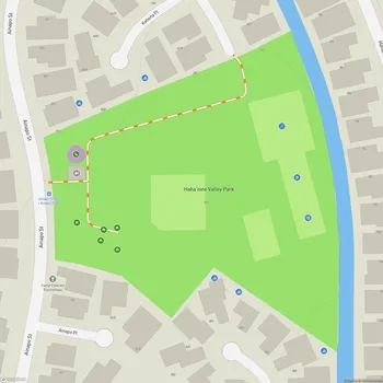
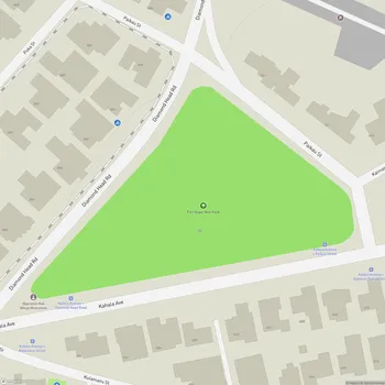
Interactive Park Map
About Puʻu ʻUalakaʻa State Wayside Park
Breathtaking Panorama
Perched about 1,000 feet up on Mount Tantalus, this park offers stunning views of southern Oahu. From here, you can take in everything from Diamond Head to Pearl Harbor in one sweeping glance.
The vista includes Honolulu's skyline, the beaches of Waikiki, and the vast blue of the Pacific Ocean stretching to the horizon. This spot, often called Tantalus Lookout, is particularly photogenic when the sun sets and the city lights come on below. On clear days, you can even make out the Honolulu Airport, Waialae Mountains, and lush Manoa area.
A Hill With History
This peaceful park sits on a cinder cone not far from downtown Honolulu. The Hawaiian name Puʻu ʻUalakaʻa translates to "rolling sweet potato hill" - a nod to its past life as farmland where sweet potatoes would tumble down the slopes during harvest.
Pop culture fans might get a kick out of knowing that Elvis himself once stood here - parts of his film "Blue Hawaii" were shot at the far end of the main parking lot. Not a bad backdrop for The King!
What You'll Find
The park sits like a forested retreat above the city. Two coconut palm trees frame the lookout point, creating a quintessential Hawaiian view.
There's a well-maintained grassy area that's well-suited for spreading out a blanket and soaking in the views. If you're planning a small gathering, you'll discover two picnic pavilions tucked along a short path - ideal for enjoying a meal with an unbeatable backdrop.
Nature Escapes
While most folks come for the views, don't miss the ʻUalakaʻa Trail - it's more of a leisurely stroll than a challenging hike. This short path winds through lush forest, offering a peaceful retreat from city life.
If you're feeling more adventurous, head to the uphill end of the trail where it meets a four-way intersection connecting to other routes: the Makiki Valley, Moleka, and Maunalaha Trails. Just watch your step - some sections have uneven terrain with steep drop-offs on the sides.
Take a moment to appreciate the bamboo groves and verdant surroundings that many visitors rush past on their way to the lookout. The dappled light through the canopy creates a magical atmosphere worth savoring.
Good To Know
This park provides a peaceful escape just minutes from downtown Honolulu.
You can bring your four-legged friends along as the park is dog-friendly. There are public restrooms available near the parking area, however you won't find facilities at the lookout point itself.
Keep in mind that the park closes at 6:45 PM. If you want to catch both the sunset and the city lights coming on, aim to arrive around 5:30 PM, especially during winter when daylight fades earlier.
There's no entrance fee to the park.
All Features & Facilities
Nature & Wildlife
Visitor Services
Food & Gathering
Photo Gallery
Opening Hours
Hours not availableWeather
Top Restaurants Near Puʻu ʻUalakaʻa State Wayside Park
Waioli Kitchen & Bake Shop
0.4 miles2950 Manoa Rd, Honolulu, HI 96822
Charming Hawaiian bakery and cafe serving fresh scones, tropical dishes, and coffee in a relaxed patio setting.
Serg's Mexican Kitchen
0.7 miles2740 E Manoa Rd, Honolulu, HI 96822
Welcoming Mexican restaurant featuring open-air seating and serving authentic classics including tacos, burritos, and enchiladas.


