Wedekind Regional Park
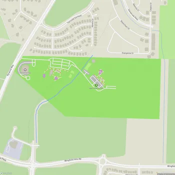
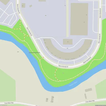
Interactive Park Map
About Wedekind Regional Park
Natural Escape in the City
Situated in Sparks, Nevada, Wedekind Regional Park spreads across 250 acres of untouched open space. As urban development has steadily claimed more of Sparks, this park has become something of a last stand for natural landscape within city limits. The park connects the Sparks Regional Trail System with neighborhood urban trails, featuring walking paths that wind through native plants and dry grasses - a nice breather from city life.
A Landscape 16 Million Years in the Making
The ground beneath your feet at Wedekind tells quite a story. Dating back 16 million years, this area was shaped by volcanic eruptions, followed by geothermal activity that created the colorful landscapes and unique rock formations you'll see today.
Planning an event? Make a reservation at this park
The park's distinctive terrain is topped with quartz-alunite, a particularly hard, erosion-resistant rock common in Western Nevada. As you hike through the park, you'll encounter these interesting rock formations, with some trails leading you to elevated spots with sweeping views.
From Silver Strike to Park Space
Back in 1895, a prospector named George Wedekind struck silver, gold, and lead ore in this area - a discovery that changed the landscape's destiny.
The Wedekind mine, visible across from the park today, was the result of his find. By 1900, nearly 50 exploratory tunnels had been carved into the surrounding area, evidence of the mining boom that once defined this region.
Been to this park? Share a or a
If you explore the western edge of the park, you might spot ruins and remnants of the original Pyramid Street alignment - silent reminders of the area's rich history.
New Life for an Old Space
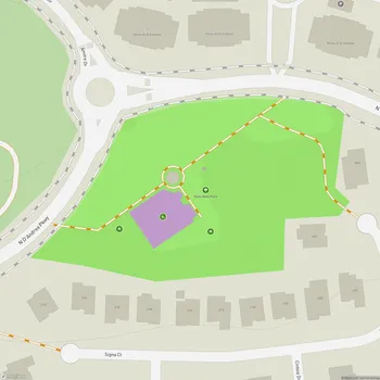
The park has seen significant improvements in recent years that make it more accessible and user-friendly. The Disc Drive Trailhead now features a proper parking lot, while trail systems have been upgraded throughout. Efforts to revegetate native plants and install split rail fencing have helped protect the area from off-highway vehicles and illegal dumping.
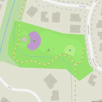
At the park's 4th Street Trailhead, you'll come across an outdoor classroom where students can learn about the area's mining history through hands-on experiences. This southern entrance also offers a small pavilion where you can rest and seek shelter from the elements.
What to Expect on Your Visit
When you visit Wedekind, you'll discover a network of hiking trails that offer panoramic views of Reno, Sparks, and Spanish Springs. While some trail sections aren't clearly marked, look for helpful rock cairns that guide the way.
The park really shines as a peaceful retreat within city limits. Many people find evenings especially magical here, when the heat subsides and city lights begin to twinkle in the distance.
Planning Your Trip
You can access the park from two main points: the Disc Drive Trailhead to the north or the 4th Street entrance to the south. Both offer gravel parking areas and portable restrooms.
There's a small picnic area for when you need a break to refuel and take in the surroundings. And if you're a dog owner, dogs are allowed off-leash once you're past the park entrance, giving them space to run freely.
All Features & Facilities
Nature & Wildlife
Visitor Services
Food & Gathering
Photo Gallery
Leave a Comment
ParkMagnet Score
Good Park