Candlestick Point State Recreation Area
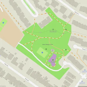
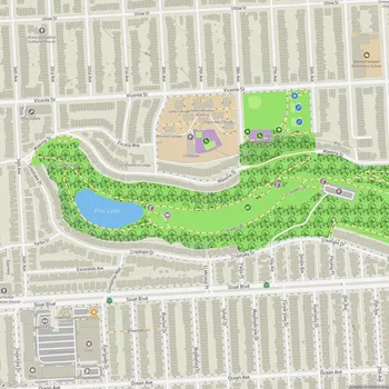
Interactive Park Map
About Candlestick Point State Recreation Area
Landscape and Views
Tucked along the western shoreline of San Francisco Bay, Candlestick Point State Recreation Area spans 170 acres of urban wilderness in southeastern San Francisco. As California's first urban state recreation area (established back in 1977), this park offers some seriously gorgeous panoramic views of the bay, East Bay Hills, and San Bruno Mountain.
The landscape here is wonderfully diverse - you'll come across grassy uplands, coastal salt marsh, intertidal mudflats, and pocket beaches all in one place. It's a little ecosystem that supports hawks, herons, ground squirrels, and jackrabbits. Interestingly, when much of San Francisco is wrapped in fog, this spot often enjoys sunshine, providing a nice alternative on those typical "summer in SF" days.
Wildlife and Ecological Importance
This park sits right on the Pacific Flyway, making it a bustling airport for migratory birds. With binoculars, you might spot hawks, egrets, buffleheads, and dozens of other feathered travelers as they make their way along the migration route.
Planning an event? Make a reservation at this park
Keep your eyes on the water too - harbor seals occasionally pop up for a swim in the bay. And don't be surprised if you make friends with the native ground squirrels that have gotten pretty comfortable around humans over the years.
Recreational Activities
With over 3 miles of trails, Candlestick Point offers good options for a leisurely stroll or a bike ride along the shoreline. The paved paths even feature fitness stations if you're looking to mix up your outdoor exercise routine. You can also try your luck fishing from two public piers, gather friends for a picnic, watch birds do their thing, or even catch some wind with your windsurfing gear.
The spacious grounds make this spot ideal for family get-togethers, with plenty of picnic areas featuring tables and grills scattered throughout. Whether you prefer cooling shade or sunny spots with beautiful water views, there's an ideal picnic spot waiting for you.
Park Amenities
As for facilities, you'll discover portable toilets at key locations, especially near the fishing pier. Security regularly patrols the grounds, which helps keep things safe for everyone enjoying the park.
Been to this park? Share a or a
Just note that the gates close at 7PM daily, so plan your visit accordingly. You can park in the designated lots, although be aware that some access points might be temporarily restricted at times.
Art and Community Elements
As you explore, you'll stumble upon interesting artwork installations within the park. The outdoor drum installation is particularly fun - adding an interactive, musical element to your experience. These artistic touches bring a unique cultural dimension to this urban green space.
History and Community Impact
The park has quite a transformation story - from historic wetlands to landfill and finally to the landscaped park we see today. It came about through community efforts to preserve open space in the Bayview-Hunters Point neighborhood, creating recreational opportunities for urban residents.
Many locals consider this place a quiet retreat within San Francisco - some have lived in the city for decades before discovering it! The area also carries historical significance as the former site of Candlestick Park stadium, which adds an extra layer of nostalgia for many visitors.
Candlestick Point faces its share of challenges - maintenance issues, pressure from urban development, and climate change effects like sea-level rise and increased flooding. But despite these hurdles, it remains an invaluable natural and recreational resource for both the local community and the broader city of San Francisco.
All Features & Facilities
Active Recreation
Nature & Wildlife
Water Features & Activities
Visitor Services
Food & Gathering
Photo Gallery
Leave a Comment
ParkMagnet Score
Great Park
Park Size
Opening Hours
Plan Your Visit
Weather
Top Restaurants Near Candlestick Point State Recreation Area
El Azteca Taqueria
0.5 miles5298 3rd St #2602, San Francisco, CA 94124
Authentic Mexican taqueria serving delicious burritos, tacos, and quesadillas at affordable prices.