Mission Dolores Park
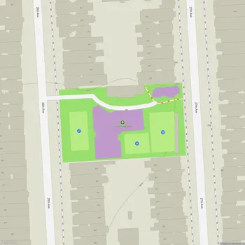
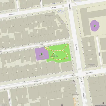
Interactive Park Map
About Mission Dolores Park
Location and Features
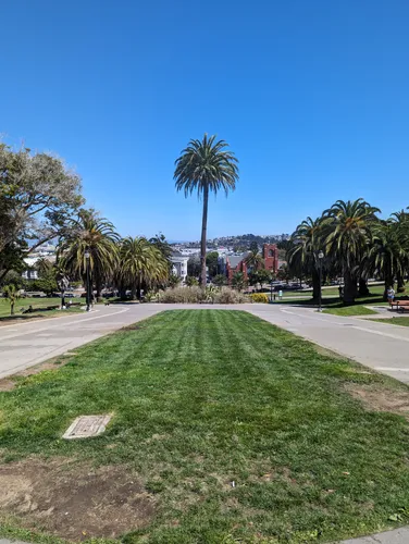
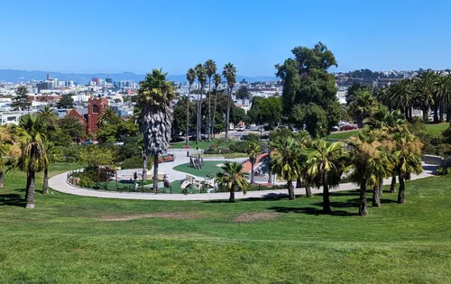
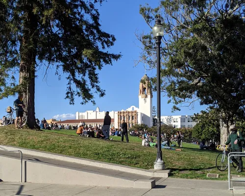
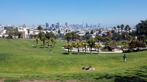
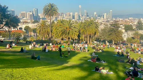
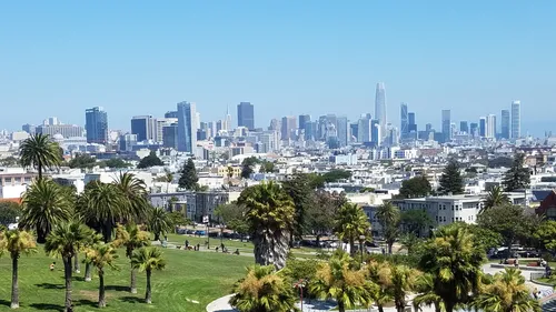
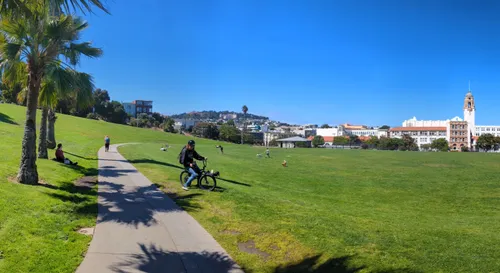
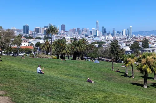
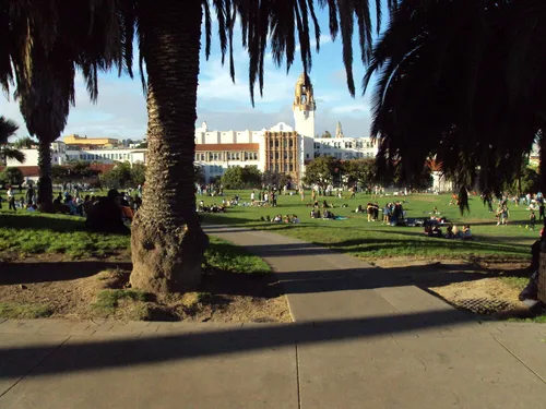
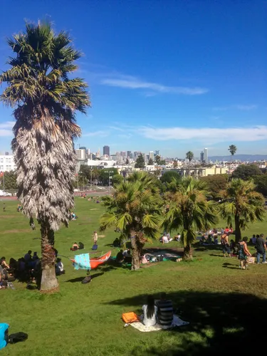
Nestled in the heart of San Francisco, Mission Dolores Park sprawls across nearly 16 acres of prime urban greenspace. Sitting pretty at the western edge of the Mission District, the park is hugged by 18th Street to the north, 20th Street to the south, Dolores Street to the east, and Church Street to the west.
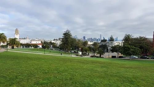
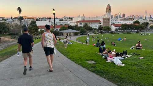
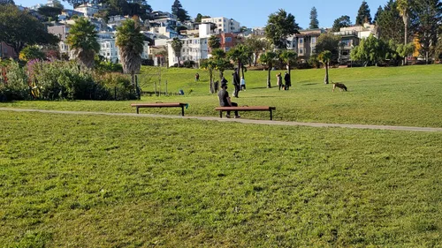
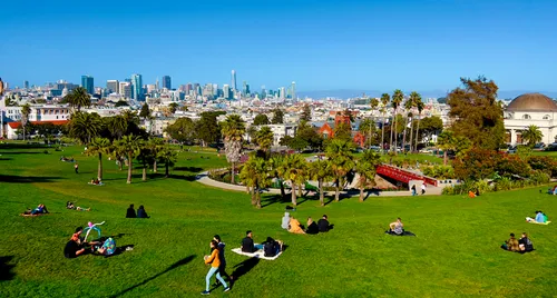
One of the park's notable characteristics is its sloping landscape, which climbs from southwest to northeast, offering you panoramic views of downtown San Francisco and the city's skyline. These vistas are particularly beautiful at sunset - good for photos or just quietly soaking in the beauty of the city.
Amenities and Recreation
If you're feeling active, Dolores Park offers tennis courts, basketball courts, and soccer fields where locals and visitors alike can play. The Helen Dillard Playground is a hit with families, offering modern play structures where kiddos of all ages can climb, slide, and explore.
Planning an event? Make a reservation at this park
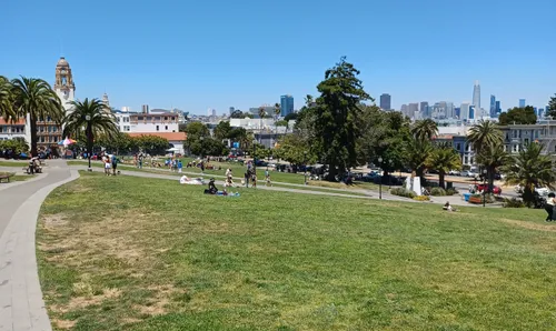
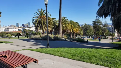
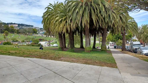
When nature calls, clean public restrooms are conveniently located at the northwest corner and bottom of the park, including an outdoor urinal near the J Church Muni stop. While there are some picnic tables scattered throughout, most parkgoers opt for the classic San Francisco experience - spreading out a blanket on the grassy slopes and making themselves at home.
Dog-Friendly Environment
Four-legged friends are more than welcome here! The park is incredibly dog-friendly with designated off-leash areas at the bottom section. On any given day, you'll spot many dogs running around, playing fetch, and socializing with other dogs.
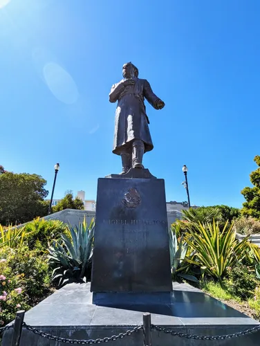
Historical Background
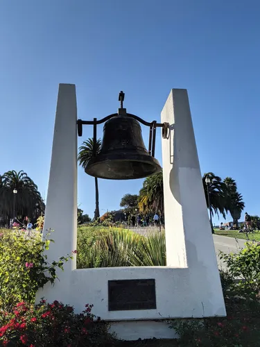
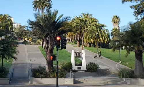
Dolores Park has a rich history behind its green spaces. Established in 1905 on what was once a Jewish cemetery, the park later served as a refuge for those displaced by the devastating 1906 San Francisco earthquake and fire.
Been to this park? Share a or a
Over the decades, it has evolved into the vibrant community space we know today, drawing thousands when the sun makes an appearance. Its historical significance feels even richer given its proximity to the Mission Dolores Church, which has stood since 1900.
Recent Improvements
In 2016, the park got a major facelift with renovations improving irrigation systems and adding new amenities. Blessed with a sunny microclimate that often escapes San Francisco's notorious fog, it's no wonder this park has become a hot spot for sunbathing, picnicking, and hanging out.
Community Hub
At its heart, Dolores Park is a cultural melting pot that hosts everything from free movie screenings to cultural festivals and performances during the year.
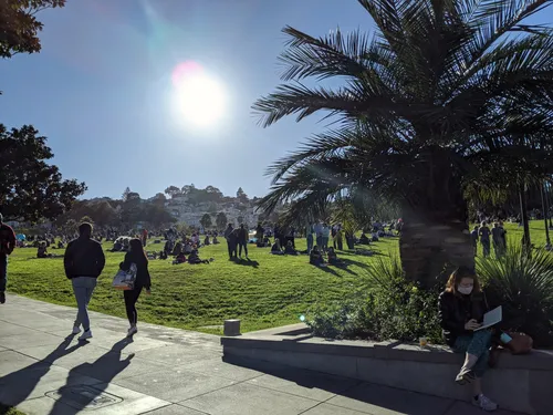
What makes this park special is its wonderfully diverse crowd and laid-back vibe. Weekends transform the space into a buzzing social scene - you'll see everything from impromptu yoga sessions to amateur musicians, picnickers, and people simply lounging with a good book. Sometimes local vendors appear selling treats, adding to the festive atmosphere.
Tucked between the colorful Mission District and the historic Castro neighborhood, the park inherits an eclectic character that draws both locals and curious tourists. It reflects San Francisco's diverse character - a place where people from all walks of life gather to enjoy an outdoor space.
Visitor Information
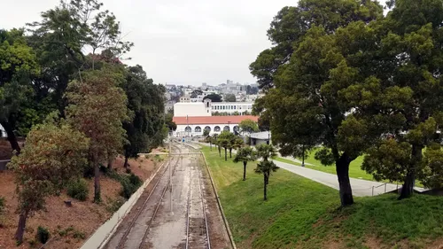
The park welcomes visitors daily from 6AM to 10PM. Fair warning: it gets packed on weekends and holidays, especially when the sun is shining. Your best bet is to take public transportation - the J Church Muni line stops right at the northwest corner, and the 33 bus line serves the northeast corner. If you must drive, be prepared for the classic San Francisco parking challenge in surrounding streets.
For the best experience, bring a blanket to sit on and pack some snacks and drinks. And please remember to clean up after yourself - keeping this cherished community space beautiful depends on everyone doing their part.
All Features & Facilities
Active Recreation
Nature & Wildlife
Visitor Services
Food & Gathering
Photo Gallery (click to enlarge)
Leave a Comment
ParkMagnet Score
Good Park
Park Size
Opening Hours
Plan Your Visit
Weather
Top Restaurants Near Mission Dolores Park
Gola Restaurant SF
0.3 miles819 Valencia St, San Francisco, CA 94110
Authentic Tunisian restaurant serving flavorful tagines, traditional dishes, and homemade bread in an elegant setting.
Kolapasi South Indian cuisine
0.3 miles3465 19th St, San Francisco, CA 94110
Authentic South Indian restaurant serving flavorful biryanis, curries, and traditional parottas with warm, welcoming service.
Himalayan Hub
0.3 miles508 Valencia St, San Francisco, CA 94110
Authentic Nepalese and Indian restaurant serving flavorful momos, curries, and traditional dishes in a warm atmosphere.
Lazy Bear
0.4 miles3416 19th St, San Francisco, CA 94110
An upscale New American restaurant offering creative farm-to-table cuisine in an intimate midcentury setting.
Fiestabowls
0.4 miles2290 Mission St, San Francisco, CA 94110
Vibrant Mexican snack spot serving fruit treats, esquites, tamales, and creative comfort foods in colorful surroundings.
Café de Olla
0.4 miles3388 19th St, San Francisco, CA 94110
Authentic Mexican restaurant serving traditional Oaxacan dishes like tamales, tlayudas, and specialty coffee drinks.
Top Hotels Near Mission Dolores Park
Beck's Motor Lodge
0.4 miles2222 Market St, San Francisco, CA 94114
A renovated motel featuring clean, colorful rooms with modern amenities and free parking in a walkable neighborhood.
The Hotel Castro
0.5 miles4230 18th St Unit A, San Francisco, CA 94114
Modern boutique hotel featuring self-service check-in, thoughtfully appointed rooms with balconies, and an on-site lobby bar.