Benjamin Banneker Park
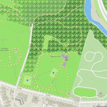
Interactive Park Map
About Benjamin Banneker Park
Historical Significance
Benjamin Banneker Park pays tribute to a remarkable historical figure who helped shape Washington, D.C. as we know it today. Banneker, an African American astronomer, mathematician, surveyor, and almanac author, worked alongside Pierre L'Enfant and Andrew Ellicott in the late 18th century to survey and plan the layout of the nation's capital.
Born to a free African-American mother and a formerly enslaved father in Baltimore County, Maryland, Banneker had minimal formal education. Yet, this didn't stop him from becoming instrumental in establishing the original borders of the District of Columbia. His self-taught brilliance and contributions to early American science make him truly a standout historical figure worth commemorating.
Design and Features
Opened in November 1971, this 4.7-acre park was brought to life by landscape architect Dan Kiley. At its heart sits an impressive conical fountain that shoots water over 30 feet into the air before cascading down into a circular basin crafted from green granite.
Planning an event? Make a reservation at this park
The park's thoughtful design includes concentric rings of benches, double rows of London plane trees, and low concrete walls that neatly define the plaza's edges. Granite squares pave the plaza, seamlessly continuing the material used along the 10th Street Mall.
There's something almost meditative about watching the fountain in action, creating a peaceful atmosphere in this modest but charming space. Just keep in mind that the fountain might be turned off during certain times of the year.
Location and Views
You can find the park nestled at the southern end of L'Enfant Plaza in Southwest D.C., as the endpoint of the 10th Street Mall that connects the Smithsonian Castle to the Southwest Waterfront.
Been to this park? Share a or a
Perched on an elevated spot near the Spy Museum, the park rewards you with sweeping views southward toward the Potomac River and Southwest Waterfront. A grassy embankment slopes gently down from the concrete wall to the surrounding roadway.
This higher vantage point offers some really nice perspectives of the urban landscape around you - making it a fantastic stopping point as you make your way between L'Enfant Plaza and the Wharf area.
Visitor Experience
Don't let its small size fool you - Benjamin Banneker Park offers a peaceful retreat from the city's hustle and bustle. Well-paved pathways make it suitable for a quick stroll or jog, and you'll find plenty of places to sit throughout.
The park typically remains uncrowded, making it a favorite among nearby office workers taking lunch breaks and tourists needing a moment of quiet between sightseeing adventures. The tidy landscaping creates nice spots for a casual picnic or simply to pause and gather your thoughts.
If you're heading to the Wharf area, you can take side paths leading down from the park, connecting you to other major DC attractions.
Management and Future Plans
The National Park Service oversees this urban oasis, which has been eyed for potential upgrades as part of broader development plans for the surrounding area. While the park has experienced some wear and tear over the years due to maintenance challenges, it remains a notable example of modernist landscape design in the capital city.
All Features & Facilities
Nature & Wildlife
Water Features & Activities
Visitor Services
Food & Gathering
Photo Gallery
Leave a Comment
ParkMagnet Score
Decent Park
Park Size
Opening Hours
Plan Your Visit
Weather
Top Restaurants Near Benjamin Banneker Park
Chopsmith
190 feet11 District Square SW, Washington, DC 20024
Sleek restaurant serving custom salads, sandwiches, and breakfast items with wine and draft beer options.
ilili Restaurant
322 feet100 District Square SW, Washington, DC 20024
Stylish Lebanese restaurant featuring authentic Middle Eastern cuisine with meat and seafood entrees in an elegant atmosphere.
Rice Bar
0.3 miles600 Maryland Ave SW, Washington, DC 20024
Cafeteria-style Korean restaurant serving fresh rice and noodle bowls with quality ingredients and fast service.