Harriet Island Regional Park
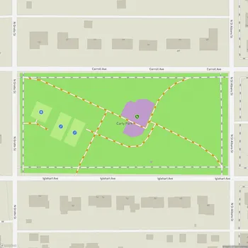
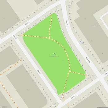
Interactive Park Map
About Harriet Island Regional Park
History and Origins
Next to the Mississippi River, directly facing the Saint Paul skyline, sits the 62.96-acre Harriet Island Regional Park. It's hard to believe this mainland park was once an actual island until 1950, when its back channel was filled in. The park bears the name of Harriet Bishop, Saint Paul's pioneering first public school teacher - a fitting tribute to education in the heart of the city.
Back in 1900, Dr. Justus Ohage, the city's first public health officer, made a remarkable gesture when he donated this land to Saint Paul with one simple condition: it must remain a park for public enjoyment. In its early days, this place was quite the hotspot, featuring swimming beaches, playgrounds, and even hosted Saint Paul's very first zoo!
Historical Development
Over the decades, Harriet Island has experienced several facelifts and revivals. A particularly significant addition arrived in 1941 with the construction of a pavilion designed by Clarence "Cap" Wigington - a groundbreaking figure as Saint Paul's first African American city architect.
Planning an event? Make a reservation at this park
This structure, now known as the Clarence W. Wigington Pavilion, earned its well-deserved spot on the National Register of Historic Places in 1992, preserving its architectural significance for generations to come.
Current Features
These days, Harriet Island is Saint Paul's outdoor living room for major celebrations and events. The park offers excellent views of the Saint Paul skyline reflecting off the Mississippi.
You'll find barbecue grills, picnic tables, and plenty of green space for flying kites, tossing a frisbee, or simply lounging on a blanket with a good book. There's a playground for the kids, but it's worth noting it's currently undergoing some renovations.
Been to this park? Share a or a
Being in the river's floodplain means the park occasionally gets a little too acquainted with the Mississippi's waters during heavy rains, but this natural quirk hasn't diminished its place in the hearts of locals.
Park Landscape
Well-maintained walking and biking paths meander to the water's edge, while clusters of native oak trees provide welcome shade around the perimeter. Even winter doesn't stop the enjoyment here - the paths see regular snow removal, making those crisp winter walks along the river possible year-round.
The heart of the park features a sprawling grassy area that functions as both an entrance and a natural gathering space. This expansive lawn provides nice views of downtown Saint Paul, especially as the sun sets behind the urban skyline.
Recreation and Activities
Lace up your shoes or hop on your bike - Harriet Island makes an excellent starting point for exercise enthusiasts. The bike and walking trails connect to the larger city network, allowing for short strolls or ambitious treks depending on your mood.
Fishing enthusiasts often line the riverbanks here, casting lines into the Mississippi with varying degrees of patience and success. If you prefer to be on the water rather than beside it, the park represents a launch point for paddleboat cruises, offering everything from affordable afternoon jaunts to more atmospheric sunset excursions.
Events and Entertainment
During the year, the park transforms into an outdoor venue for celebrations of all kinds. The annual Irish Fair brings Celtic energy to the riverfront, while various music festivals take advantage of the park's natural amphitheater qualities. The Target Stage hosts everything from organized concerts to spontaneous performances, with the river and skyline providing an unmatched backdrop.
With its open spaces and city panorama, Harriet Island hosts many outdoor concerts, food truck festivals, and cultural celebrations throughout the year.
Photography and Views
The park is a popular spot for local photographers. The park offers spectacular compositions featuring the Saint Paul skyline, the flowing Mississippi, and nearby landmarks like the Cathedral. The riverside docks create especially compelling settings for portraits and special occasion photography.
For an even more impressive perspective, take a stroll across the nearby Wabasha Street Bridge, which connects to downtown Saint Paul. From this vantage point, you can see the park, the river, and the city in one vista - particularly nice as day transitions into evening.
All Features & Facilities
Nature & Wildlife
Water Features & Activities
Visitor Services
Food & Gathering
Photo Gallery
Leave a Comment
ParkMagnet Score
Great Park
Park Size
Opening Hours
Plan Your Visit
Weather
Top Restaurants Near Harriet Island Regional Park
Babani's
659 feet32 E Fillmore Ave, St Paul, MN 55107
Authentic Kurdish restaurant serving flavorful Middle Eastern dishes including kebabs, vegetarian options, and traditional soups.
Sakura Restaurant & Bar
0.3 miles350 St Peter St #195, St Paul, MN 55102
Authentic Japanese restaurant serving fresh sushi, tempura, and bento boxes in a vibrant bi-level setting.
Ruam Mit Thai + Lao Cuisine
0.4 miles367 Wabasha St N, St Paul, MN 55102
Authentic Thai and Laotian restaurant serving traditional dishes with customizable spice levels and vegetarian options.
Top Hotels Near Harriet Island Regional Park
The Saint Paul Hotel
0.3 miles350 Market St, St Paul, MN 55102
Historic 1910 landmark hotel featuring elegant rooms, classic American dining, and sophisticated downtown accommodations.
Hyatt Place St. Paul/Downtown
0.4 miles180 Kellogg Blvd, St Paul, MN 55101
Modern downtown hotel offering spacious rooms with large windows, indoor pool, fitness center, and complimentary breakfast.