Shadow Falls Park
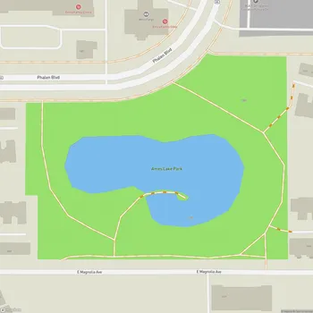
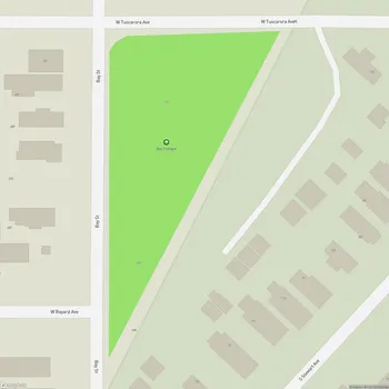
Interactive Park Map
About Shadow Falls Park
Natural Features
Nestled along the Mississippi River in Saint Paul, Shadow Falls Park is a little pocket of tranquility that feels worlds away from city life. Tucked between the University of St. Thomas and the mighty Mississippi, this park offers a natural retreat without leaving the urban grid.
Shadow Falls is the park's main feature - one of several waterfalls carved into the ravines flanking the Mississippi River gorge. What's really fascinating is how these falls formed: groundwater springs gradually eroded the soft St. Peter Sandstone underneath, eventually causing the harder Platteville Limestone above to collapse. It's an impressive example of natural geological processes.
Planning an event? Make a reservation at this park
The exposed rock layers tell a geological story going back to when Glacial River Warren retreated over 11,000 years ago. If you look closely, you might even spot some fossils in the rock layers - remnants from the distant past embedded in the rock layers.
Trails and Views
Exploring Shadow Falls is relatively straightforward with a few different path options. You can take your pick between paved paths up at street level or venture down the more rugged dirt trails that lead you right to the falls and creek.
The trail to the waterfall isn't too demanding - just about 0.2 miles long - winding through a forested area until you reach the falls. Just a heads-up: these trails can get steep and muddy after it rains, so maybe leave your white sneakers at home.
Been to this park? Share a or a
The blufftop views of the Mississippi River are absolutely worth the trip. Several natural rock ledges along the trail make perfect perches for river-gazing, and they've become go-to spots for watching the sun sink below the horizon. The golden hour light on the water creates a particularly scenic view.
Seasonal Experience
This park has a different personality depending on when you visit. The waterfall flows most impressively during spring or right after a good rain - providing the best viewing opportunities.
Come fall, the park transforms into a canvas of golden oaks and maples. The rich reds and warm oranges create a colorful canopy that makes for excellent photographs.
Winter brings its own kind of magic, turning the falls into a frozen sculpture of ice. Some locals even bring sleds to zoom down the snow-covered hills where the creek meets the river - a bit of childhood joy in the middle of Minnesota winter.
History and Preservation
Shadow Falls has been watching over the river as a city park since 1902, but its story goes back further. In the mid-1800s, it was already a popular spot for picnickers and hikers looking for a natural escape.
We almost lost this green space in the 1880s when developers eyed it for a summer resort, but thankfully, some forward-thinking citizens stepped up to protect it as a public space. Today, the park also houses a solemn World War I memorial overlooking the river - a quiet place for reflection among the natural beauty.
Visitor Experience
There's a peaceful vibe here that draws students from nearby universities and locals alike. You'll often spot people hammocking between the trees or spreading out picnic blankets in the grassy area between the garden and memorial.
Getting here is pretty easy - there's a small parking lot near the monument if you're coming by car. A gentle creek runs through the park with multiple crossing points along the dirt path, adding to the sensory experience of running water and dappled sunlight.
What strikes us most about Shadow Falls Park is how it manages to feel so wild despite being surrounded by city. You can literally stand in a forest ravine, watching a waterfall cascade over ancient rocks, while knowing you're just minutes from downtown Saint Paul. It's this beautiful contradiction that makes it one of the Twin Cities' most precious natural spaces.
All Features & Facilities
Nature & Wildlife
Water Features & Activities
Visitor Services
Food & Gathering
Photo Gallery
Leave a Comment
Opening Hours
Plan Your Visit
Weather
Top Restaurants Near Shadow Falls Park
Davanni's Pizza & Hot Hoagies
0.4 miles41 Cleveland Ave S, St Paul, MN 55105
Regional Italian chain serving delicious pizzas and hoagies with friendly service and quality ingredients.
Gus Gus
0.5 miles128 Cleveland Ave N, St Paul, MN 55104
Contemporary American restaurant featuring expertly prepared steaks, burgers, and small plates in a cozy atmosphere.
Mario's
0.6 miles232 Cleveland Ave N, St Paul, MN 55104
Detroit-style pizza restaurant known for thick, cheesy squares with crispy edges and generous toppings.