Independence Park
Interactive Park Map
About Independence Park
A Touch of Green History
Located in Newark's bustling streets lies Independence Park, a green space designed by the Olmsted Brothers back in 1895. Part of their vision to create breathing spaces in crowded neighborhoods, this park still carries their signature touch with its elegant bandstand centerpiece, winding paths, and tree-lined promenades that invite you to slow down and stroll.
Finding Your Way
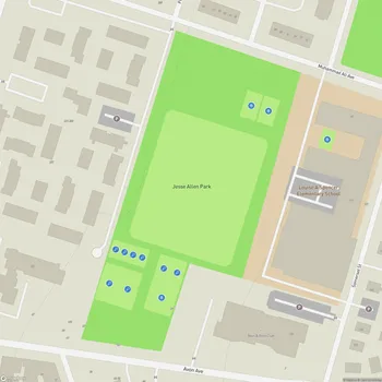
You'll come across this verdant retreat in Newark's "Ironbound" (or "Down Neck") district in eastern Essex County. Spanning a modest 12.69 acres, the park is neatly framed by Walnut Street to the north, Oliver Street to the south, and Adams & Van Buren Streets on the west and east sides. Just a heads-up: there's only street parking available, which can be a bit of a treasure hunt during peak times.
A Neighborhood's Backyard
For Ironbound residents - many living in multi-story buildings without yards of their own - Independence Park functions as the neighborhood's collective backyard. This dense area relies on these 12 acres as a place to breathe, play, and connect.
Planning an event? Make a reservation at this park
Locals have even nicknamed it "Parque dos Mosquitos" (Mosquito Park) - a playful nod to the occasional summer companions that buzz around during twilight hours.
New Life for an Old Friend
Recent years have brought welcome renovations to this historic space. The sports fields shine with new turf, playgrounds boast updated equipment, and modern facilities better serve today's community needs.
The additions include a visitor center with clean restrooms and a dedicated senior center offering simple comforts like TV, tables, chairs, and affordable breakfast options for the neighborhood's older residents.
Play Your Heart Out
The park is busy with athletic activities throughout the week. Home to three official soccer leagues representing over 42 teams and 750 players, the fields are so in demand that they're often divided into smaller sections to accommodate everyone.
Been to this park? Share a or a
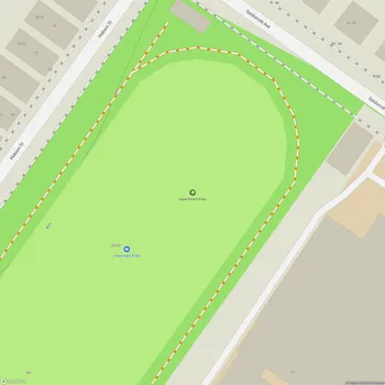
Beyond soccer, you can shoot hoops at two full-size basketball courts, bump a volleyball at the volleyball court, or catch a game at the baseball fields. There's also space for a more leisurely pace with bocce courts and a running/walking trail that loops around the park's edge.
Family Fun Central
The playground area offers structures suited for different ages (though some equipment occasionally shows its age). When summer heat hits, the water spray feature provides refreshing jets for children to run through.
The picnic areas provide perfect spots for family gatherings, weekend lunches, or impromptu celebrations - just another way this park acts as the neighborhood's outdoor living room.
Urban Wildlife
Amid the city surroundings, nature finds a way to thrive here. Squirrels scamper between trees and across lawns, often approaching visitors with curious boldness. Various birds fill the branches and air with movement and song, offering a gentle reminder of the natural world within the urban landscape.
Sacred Neighbors
Just beside the park on Oliver Street stand two architectural treasures: the Italian Renaissance-styled Our Lady of Mount Carmel church, completed in 1955, and the charming 1910-built St. Michael's Russian Orthodox Church. Though St. Michael's held its final service in March 2013, both buildings remain important landmarks framing the park's southern edge.
All Features & Facilities
Active Recreation
Nature & Wildlife
Visitor Services
Food & Gathering
Photo Gallery
Leave a Comment
ParkMagnet Score
Good Park