Acequia Park
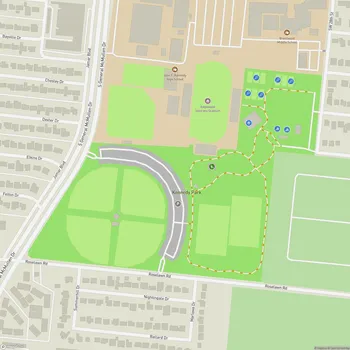
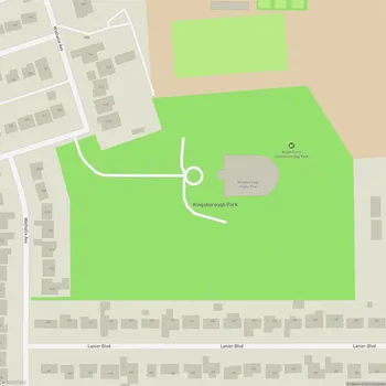
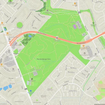
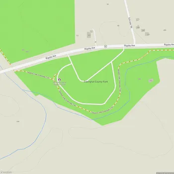
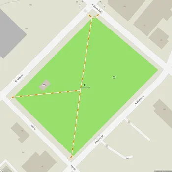
Interactive Park Map
About Acequia Park
A Journey Through Time
Acequia Park gets its name from something pretty fascinating - the historic acequia system. These were irrigation canals built by Spanish missionaries and indigenous people back in the 18th century to water their crops. You can still see remnants of these acequias in the park today, offering a glimpse into the area's colonial past.
Tucked along the east side of the San Antonio River, the park sits between Mission San José and Mission San Juan Capistrano. It's actually part of the San Antonio Missions National Historical Park, which has earned the prestigious designation as a World Heritage Site. A significant designation for a local park.
Hit the Trails
If you're looking to stretch your legs, Acequia Park connects to the Mission Hike & Bike Riverwalk Trail, a paved path that links up all those beautiful Spanish missions around San Antonio. There's also the Acequia Trail - a 1.2-mile gravel path that follows the historic irrigation ditches.
Planning an event? Make a reservation at this park
The trails here are well-kept and offer plenty of shade in many sections - a real blessing during those Texas summer days. Whether you're walking, jogging, or cycling, the paths are comfortable and scenic.
The park is teeming with wildlife too. Keep your eyes peeled and you might spot turtles sunbathing, various birds flitting about, and if you're lucky, maybe even a fox or two. The peaceful stretches of river and small waterfalls create a tranquil atmosphere - a welcome contrast to city life.
Cast a Line or Paddle Away
Got a fishing rod? Acequia Park has several designated fishing areas including a boarded deck. The river contains carp, and you'll often see families fishing or simply spending time by the water.
Been to this park? Share a or a
If you're more into paddling than fishing, the park offers access points for kayaking. The river has a nice mix of calm sections and slightly more active stretches, giving you different experiences as you make your way down the waterway.
Take a Load Off
Scattered around the park are numerous picnic tables, giving you options for both open communal areas and quieter, more secluded spots if you prefer some privacy. There's also a large pavilion that's excellent for gatherings - you can even reserve it for events.
Many of the picnic areas come equipped with grills, and there's plenty of shade under mature trees. The well-maintained grassy areas provide ample space for families to relax while the kids run around and play.
Good to Know
Acequia Park draws both locals and tourists who come to unwind in nature while soaking up the area's rich cultural heritage. The facilities are generally clean and well-maintained, with parking lots that make it easy to access the trails and amenities.
When nature calls, you'll find restrooms near the entrance to Mission San Juan and portable toilets by the pavilion area. Cyclists will appreciate the bicycle repair stations along some sections of the trail - a thoughtful touch for when you get a flat.
Bringing Fido along? The park is dog-friendly, with waste bag stations throughout to help keep things clean. Just remember that the park is open from 6AM to 8PM daily, and it's regularly patrolled by park police, so you can feel secure during your visit.
Acequia Park is maintained by Bexar County, preserving both historical sites and recreational spaces. It offers a blend of history, nature, and outdoor recreation.
All Features & Facilities
Nature & Wildlife
Water Features & Activities
Visitor Services
Food & Gathering
Photo Gallery
Leave a Comment
ParkMagnet Score
Great Park
Park Size
Opening Hours
Plan Your Visit
Weather
Top Restaurants Near Acequia Park
Taqueria La Perla de Jalisco
0.3 miles2255 SE Military Dr, San Antonio, TX 78223
Casual Mexican eatery serving traditional dishes with homemade corn tortillas and affordable pricing.
Pho Garden Vietnamese & Chinese Cuisine
0.6 miles2535 SE Military Dr, San Antonio, TX 78223
A Vietnamese and Chinese restaurant serving flavorful pho and traditional dishes in a comfortable atmosphere.
Texas Roadhouse
0.7 miles2751 SE Military Dr, San Antonio, TX 78223
Southwestern-themed steakhouse serving American fare with Texas-inspired decor and lively atmosphere.