Burns Park
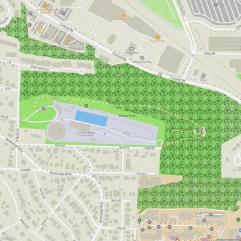
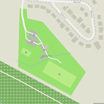
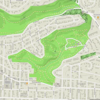
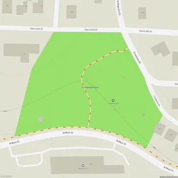
Interactive Park Map
About Burns Park
History and Origins
A former military training ground transformed into what's now one of North Little Rock's popular parks. Back in 1949, the city acquired this land and named it after Dr. William M. Burns, a past mayor who passionately championed public parks. Over the decades, what started as simple parkland has evolved into the sprawling recreational haven we know today.
Just How Big Is It?
Here's something that might surprise you - Burns Park spans a whopping 1,700 acres, making it one of the largest city parks in the entire country. Nestled along the Arkansas River, the park offers some genuinely beautiful waterfront views that make even a quick visit worthwhile.
What Can You Do There?
If you're an outdoor enthusiast or just looking for a pleasant afternoon out, Burns Park offers plenty of options. The landscape is a wonderful mix of natural wooded areas (great for hiking and mountain biking) and developed spaces for organized sports and casual recreation.
Planning an event? Make a reservation at this park
Sports lovers won't be disappointed with the array of facilities: golf courses for those peaceful morning rounds, soccer fields that host tournaments year-round, baseball and softball complexes for America's favorite pastime, and tennis courts for those looking to perfect their serve. There are also pickleball courts (for the fastest-growing sport in America) and disc golf courses for those who prefer their frisbees with a purpose.
If water activities are more your speed, you can cast a line for some fishing or use the boat launch to get out on the Arkansas River. The park connects to the broader Arkansas River Trail system, offering a gateway to even more outdoor adventures, including access to the impressive Big Dam Bridge.
Family Fun Zones
Got kids in tow? Head to Funland, where playgrounds cater to children between 2-12 years old. The little ones will love cooling off at the splash pad during hot summer days or taking a ride on the free train that circles the area. Don't miss the iconic rocket ship playground - a nostalgic landmark that's delighted generations of local children.
Been to this park? Share a or a
Within the park, you'll come across various playgrounds designed for different age groups. Parents will appreciate that some play areas are fenced for added safety, with convenient benches nearby for keeping an eye on the action.
Tucked-Away Parks
Beyond the standard park fare, Burns Park houses some truly unique attractions. History buffs might enjoy discovering the pre-Civil War log cabin or examining the World War II army tank (which, yes, kids are welcome to explore). There's also a charming covered bridge that makes for great photos. Nature enthusiasts should keep an eye out for the Arkansas Champion Nutmeg Hickory Tree while hiking the trails - it's quite the impressive specimen.
Bringing your four-legged friend? The park includes a dog park with separate areas for small and large dogs. Just note that it's mostly trees and dirt - pretty natural as dog parks go - but there is water available for thirsty pups.
The Practical Stuff
You'll discover all the necessities well-covered: clean restrooms, multiple reservable pavilions for gatherings, picnic areas complete with grills, and even an RV park and campground offering spacious, tree-surrounded sites. The walking and biking trails range from beginner-friendly paths to more challenging routes for experienced cyclists.
Bouncing Back
In March 2023, Burns Park faced a significant setback when a tornado tore through, claiming thousands of trees and damaging several facilities. The silver lining? The restoration efforts have been impressive, with many areas not just reopened but improved. The new Funland area with its splash pad shows how much of the park has been restored since the damage.
All Features & Facilities
Active Recreation
Nature & Wildlife
Water Features & Activities
Visitor Services
Food & Gathering
Photo Gallery
Leave a Comment
Share your experience at this park
ParkMagnet Score
Top Park
Park Size
Opening Hours
Hours not availablePlan Your Visit
Weather
Top Restaurants Near Burns Park
Mick's Bar-B-Q
0.5 miles3609 MacArthur Dr, North Little Rock, AR 72118
Rustic smokehouse serving slow-smoked barbecue meats and catfish with traditional Southern sides in casual atmosphere.