Emerald Park
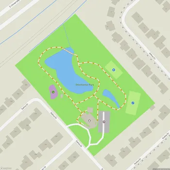
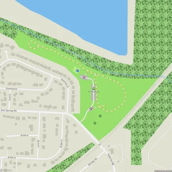
Interactive Park Map
About Emerald Park
A Cliffside Escape
Located along the north bank of the Arkansas River, Emerald Park spans 135 acres of urban wilderness in North Little Rock, Arkansas. Situated atop river bluffs, the park offers breathtaking views of the Arkansas River, downtown Little Rock, the state capital building, and Pinnacle Mountain in the distance.
The cliff viewpoints are highlights of the park. Just a word of caution though - some areas have dangerous cliffs with minimal fencing, so keep an eye on children and pets. If you're a photography enthusiast or simply appreciate a good sunset, these vantage points offer some of the most spectacular scenes in the area.
Trails for Every Adventure
With approximately 5.5 miles of trails winding within the park, there's something for every outdoor enthusiast. The trail system is divided into a paved trail that runs along the top of the bluff connecting Emerald Park to Fort Roots, and more challenging unpaved trails that zigzag down the bluff face.
Planning an event? Make a reservation at this park
The paved section is perfect if you're pushing a stroller, using a mobility device, or just looking for an easy stroll. You'll find benches positioned at scenic spots along the way, offering perfect rest stops with stunning views. If you're craving something more challenging, the unpaved trails deliver that wilderness experience for hikers and mountain bikers alike.
Natural Challenges
The northern side of the trail network presents a more rocky terrain, especially in the lower third where seven switchbacks create a satisfying climbing challenge. Meanwhile, the southern portion, though less rocky, offers a steeper gradient overall.
These diverse trail conditions accommodate different experience levels - the rocky switchbacks provide a welcome workout for runners and seasoned hikers, while the well-shaded paths make for comfortable exploration even during Arkansas's warmer months.
Rest and Relaxation
Across the park, you'll discover several gazebos and sitting areas strategically placed along the trails - perfect spots to catch your breath or simply soak in the scenery. Your four-legged friends are welcome too, as the park is decidedly dog-friendly, but they should stay leashed at all times.
Been to this park? Share a or a
Note that there are no public restrooms or water fountains available within the park, so plan accordingly. While Emerald Park officially closes at 8:00 PM, it's best to schedule your visit during daylight hours for safety reasons and to fully appreciate the spectacular views.
A Natural Sanctuary
Emerald Park offers a peaceful retreat from urban life, despite being so close to the city. The tranquil natural environment frequently rewards visitors with wildlife sightings that delight nature enthusiasts.
Beyond the main trails, you can find quieter areas with small streams, seasonal wildflowers, and secluded spots. The park offers a chance to experience nature while staying close to the city.
A Glimpse into History
The park's intriguing name dates back to French explorers who traveled up the Arkansas River in the 1700s. According to historical accounts, they learned about this location from Native Americans in the region, however the exact reason behind the "Emerald" name remains somewhat mysterious.
From the ridge viewpoints, you can spot a former quarry area below the cliffs that has found new life. Today, it features a BMX pump track that's visible from the overlooks - a modern recreational addition to this historically rich landscape.
All Features & Facilities
Nature & Wildlife
Water Features & Activities
Visitor Services
Food & Gathering
Photo Gallery
Leave a Comment
ParkMagnet Score
Good Park