Neuse River Trail
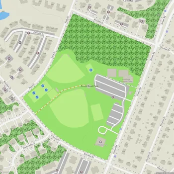
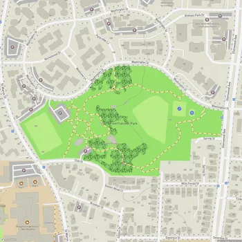
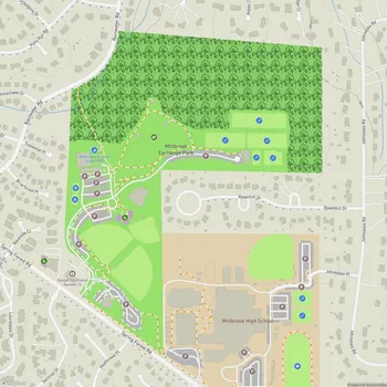
Interactive Park Map
About Neuse River Trail
Trail Overview
The Neuse River Trail stretches an impressive 27.5 miles along the Neuse River in Raleigh, North Carolina. This fully paved greenway within the Capital Area Greenway System offers a peaceful escape for walkers, runners, and cyclists alike.
Running from the Falls Lake Dam in northern Raleigh all the way to the Wake County line in the southeast, this trail takes you through a gorgeous mix of landscapes. You'll pass riverfront views, wetlands, and spots with historical significance that tell the story of the region.
Notable Features
As you make your way along the trail, you'll cross several wooden boardwalks and bridges, including two suspension bridges that provide good views over the river below.
Planning an event? Make a reservation at this park
Throughout your journey, you'll notice interpretive signs that share fascinating details about the local ecology, wildlife, and the area's rich history. Cool fact: the Neuse River Trail actually forms part of the Mountains-to-Sea Trail, an ambitious path that spans North Carolina from the Great Smoky Mountains all the way to the Outer Banks.
The trail has plenty to offer nature enthusiasts. Keep your eyes peeled for deer gracefully moving through the trees, foxes darting across the path, turtles sunning themselves by the water, and various birds including majestic herons and bright cardinals. You might even spot the occasional snake (from a safe distance, of course). The lush tree canopy creates a wonderful home for squirrels and other small critters that will likely cross your path.
Accessibility and Connections
The trail is quite accessible for most visitors. It connects to other greenways in the area, so you can easily extend your adventure if you're feeling ambitious.
Been to this park? Share a or a
The terrain is mostly flat, making it great for users of all fitness levels. There are a few hills here and there - you might need to hop off and walk your bike up some of the steeper sections if you're cycling. We appreciate the painted center line that helps keep traffic flowing smoothly, especially when teaching kids the proper way to share the trail.
During those hot North Carolina summers, you'll be thankful for the generous tree coverage that provides welcome shade along much of the route. It makes outdoor activities much more pleasant year-round.
Trail Usage
While many people come here simply to enjoy nature, the Neuse River Trail also is a practical transportation corridor for commuters, linking several neighborhoods and parks throughout eastern Raleigh.
Cyclists particularly love this trail thanks to its well-maintained paved surface and minimal road crossings. The quarter-mile markers are super helpful for tracking your progress or measuring your workout.
There are plenty of benches strategically placed along the way, well-suited for taking a breather and soaking in the scenery. The trail offers several access points to the river, providing some truly spectacular views, especially as the sun sets over the water.
Amenities
You'll discover restroom facilities at key points along the trail, but be aware they can be quite far apart in some sections. About 1.5 miles from the Riverview entrance, there's a more developed area with clean restrooms, picnic spots, and a playground for the kids.
Some of the picnic areas are really thoughtfully designed, with tables, benches, and even grills and porch swings where you can enjoy a meal surrounded by nature. For the more remote stretches of the trail, it's worth bringing a blanket for impromptu picnics when you find that perfect spot.
Water fountains appear at several locations along the route, but it's always smart to plan ahead for longer journeys and bring your own water, just in case.
All Features & Facilities
Nature & Wildlife
Water Features & Activities
Visitor Services
Food & Gathering
Photo Gallery
Leave a Comment
ParkMagnet Score
Great Park