Ray Roberts Lake State Park - Greenbelt Corridor
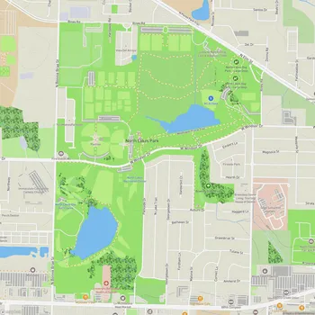
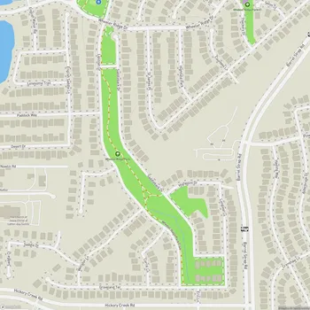
Interactive Park Map
About Ray Roberts Lake State Park - Greenbelt Corridor
Trail System
The Greenbelt Corridor offers a fantastic multi-use trail system where you can hike, bike, or go horseback riding. The main trail is a well-maintained gravel path that meanders alongside the river, treating you to some pretty spectacular views of the surrounding landscape. No matter if you're out for a casual stroll or riding your gravel bike, you'll appreciate the wide, smooth path that makes exploration easy.
This natural corridor stretches about 20 miles from the Lake Ray Roberts Dam down toward Lake Lewisville, following the gentle flow of the Elm Fork Branch of the Trinity River.
Natural Environment
The park showcases a rich tapestry of bottomland hardwood forests, open prairies, and wetlands - creating diverse habitats for local wildlife. Acting as an important ecological corridor, this green space supports a variety of plant and animal species that call North Texas home.
Planning an event? Make a reservation at this park
While exploring the Greenbelt, you can try your hand at birdwatching, capture some stunning nature photography, or cast a line in the Trinity River. What's really nice is how the scenery transforms with the seasons - tree-covered paths and expansive fields offer completely different experiences as the months pass.
Scenic Views
As you make your way along the trail, you'll encounter some truly remarkable vistas. There's one standout viewpoint that offers an epic overlook where, on clear days, you can spot downtown Denton in the distance.
The trail has this wonderfully peaceful quality about it - the quiet surroundings make it a great escape if you're looking for a tranquil nature experience away from the hustle and bustle.
Access Points
Getting to the park is pretty straightforward with three main access points: one near FM 455 at the Ray Roberts Dam, another at FM 428 (Sherman Drive), and a southern entrance at US 380. Each spot offers parking and direct access to the trail system.
Been to this park? Share a or a
Depending on which entry point you choose, you can opt for the main wide trail or venture onto the less traveled paths for a more secluded experience through nature.
Weather Considerations
Keep in mind that parts of the park can flood after heavy rains, given its location along the river. It's always a good idea to check current conditions before heading out, as the park may close during flood events for safety reasons.
Management
The Greenbelt Corridor is part of the Ray Roberts Lake State Park system and is maintained by the Texas Parks and Wildlife Department.
All Features & Facilities
Nature & Wildlife
Water Features & Activities
Visitor Services
Food & Gathering
Photo Gallery
Leave a Comment
Share your experience at this park
ParkMagnet Score
Great Park