Cherokee Regional Park
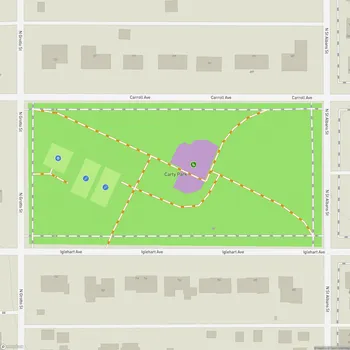
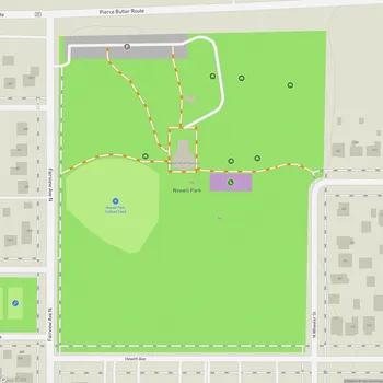
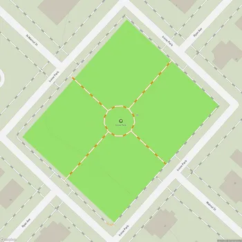
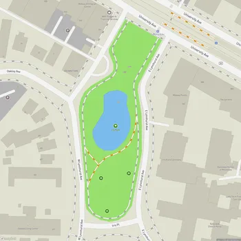
Interactive Park Map
About Cherokee Regional Park
A Blufftop Escape
Perched along the Mississippi River bluffs in Saint Paul, Cherokee Regional Park sprawls across 100 acres of urban wilderness. From its elevated position, you can take in impressive views of the river valley and downtown Saint Paul skyline.
In winter, when the trees shed their leaves, the vista expands to include glimpses of the Minneapolis skyline across the river. It's refreshing to find this peaceful natural retreat right in the middle of the city.
Roots That Run Deep
Dating back to the early 1900s, Cherokee Park has grown over the decades into the expansive green space we enjoy today. With its mix of forested bluffs and open areas, the park creates diverse little ecosystems within its boundaries.
Planning an event? Make a reservation at this park
Interestingly, back in the 1920s, the park was home to a municipal tourist campground that attracted thousands of summer visitors before closing in the 1930s. The land holds cultural significance, situated near several sites sacred to the Dakota people.
For music lovers, there's a touching tribute in the form of a bench dedicated to Eyedea, the beloved hip-hop artist from the area - a quiet spot great for reflection.
Trails and Play Spaces
The Cherokee Regional Trail, a 1.3-mile paved path, winds through the park connecting to other riverside trails, making it ideal for walkers, joggers, and cyclists looking to extend their route along the Mississippi.
Been to this park? Share a or a
If you're more into organized sports, you'll discover tennis courts and a basketball court ready for your next game. The park's modern playground equipment includes an impressive 24-foot-tall climbing tower installed in 2019 that's popular with kids.
The trails offer a sense of nature immersion despite being minutes from downtown. Just be careful on some of the bluff trails - they run close to steep drops toward the river below, so keep little ones close and stay alert.
Family-Friendly Features
The recently renovated playground has become a neighborhood favorite, with equipment that keeps kids of all ages engaged. The climbing structures, including a large net climber and what children have nicknamed the "treehouse," provide plenty of opportunities for play.
You'll discover all the essentials here too - clean restrooms (though they're closed during winter), multiple picnic areas with tables, and several shelters meant for family gatherings. Parents appreciate the ample seating areas around the playground, making it easy to supervise while catching up with friends or enjoying a good book.
Nature's Comeback
Between 2018 and 2020, Saint Paul Natural Resources took on the impressive task of restoring 61 acres of native woodland habitat and 2 acres of prairie within the park. These efforts have breathed new life into the ecosystem, enhancing plant diversity and creating better homes for local wildlife.
Squirrels are practically park ambassadors here, darting about the trees and grounds. And if you're a dog owner, you'll appreciate the extensive pathway system that gives your four-legged friend plenty of sniffing opportunities (just remember to keep them leashed).
The Cherokee Experience
There's a special quality to Cherokee Regional Park that keeps locals coming back. The abundance of shade trees offers relief on hot summer days, and the quiet green spaces are well-suited for spreading out a blanket and relaxing.
The well-maintained pavilions and picnic areas make outdoor gatherings feel effortless. Morning visitors often comment on the park's peaceful atmosphere - great for that pre-work jog or evening walk to clear your head.
Cherokee offers both expansive areas and more intimate spaces. The varied landscapes create a sense of distance from the city, even though urban life remains visible nearby.
All Features & Facilities
Active Recreation
Nature & Wildlife
Water Features & Activities
Visitor Services
Food & Gathering
Photo Gallery
Leave a Comment
ParkMagnet Score
Great Park
Park Size
Opening Hours
Plan Your Visit
Weather
Top Restaurants Near Cherokee Regional Park
The Pizza Shop West St Paul
0.4 miles1037 Dodd Rd, West St Paul, MN 55118
Family-owned pizzeria serving exceptional thin-crust pizza, calzones, and unique pizza fries at affordable prices.
City House
0.4 miles258 Mill St, St Paul, MN 55102
Cozy American restaurant with craft beer selection featuring a welcoming atmosphere near the Mississippi River.
Taco N Madre Taqueria Y Cevicheria
0.4 miles63 Winifred St W, St Paul, MN 55107
Authentic Mexican restaurant serving traditional tacos, ceviche, and enchiladas in a relaxed neighborhood setting.
Top Hotels Near Cherokee Regional Park
Residence Inn St. Paul Downtown
0.7 miles200 Grand Ave, St Paul, MN 55102
Extended stay hotel featuring apartment-style accommodations with indoor pool, fitness center, and complimentary breakfast.
Hampton Inn & Suites Downtown St. Paul
0.7 miles200 7th St W, St Paul, MN 55102
Comfortable downtown hotel featuring river views, complimentary breakfast, indoor pool, and fitness facilities.